Tips and Tutorials \ OTB Guided tour
Learn how to use OTB through a small but realistic processing chain in Python
Type: Notebook
Categories: Preprocessing, Features Extraction
Info
This tutorial can be run in CNES's VRE. First you need to follow this configuration steps. Then run the tutorial in the VRE.
Prerequisites
- Basic knowledge of satellite image processing and Python
Motivation
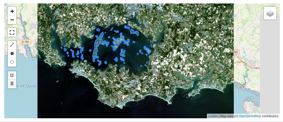
In this 2 hours workshop, you will try to answer a difficult questions : how many islands are there in Morbihan gulf ?
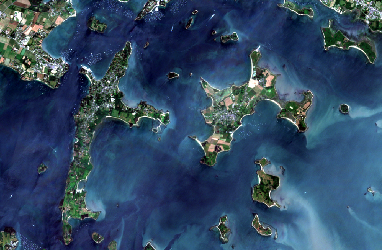
You have at your disposal : - a Python environment, through a Jupyter Notebook you can run on your own computer or on Google Colab. - some extracts of Sentinel 2 images (RGB+NIR) at different dates : you can observe how tides affect the number of islands, rocks you see in the gulf ! - a wonderful toolbox for image processing, that you can use in Python : Orfeo ToolBox !!
The notebook will take you through different steps : - display images - compute radiometric indices (ex : NDVI, NDWI to focus on water areas) - filter a time series of radiometric indices to separate land from water - remove artifacts... and mainland - and finally count islands in the Morbihan gulf !
See also
This repo on github provides also some slides (PDF) and an other notebook to learn how to use OTB classification framework !
Contacts
Questions ? Get help on the Forum