Learn how to use OTB through a small but realistic processing chain in Python
Info
This tutorial can be run in CNES's VRE. First you need to follow this configuration steps. Then run the tutorial in the VRE.
Prerequisites
- Basic knowledge of satellite image processing and Python
Motivation
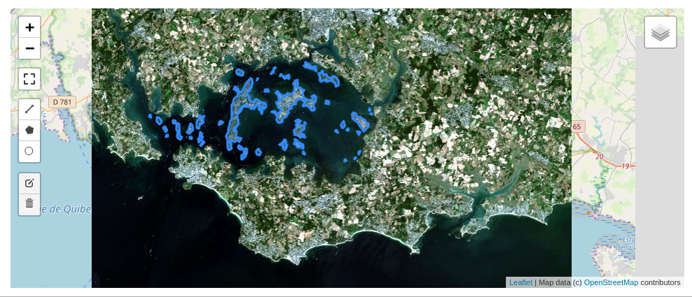
In this 2 hours workshop, you will try to answer a difficult questions : how many islands are there in Morbihan gulf ?
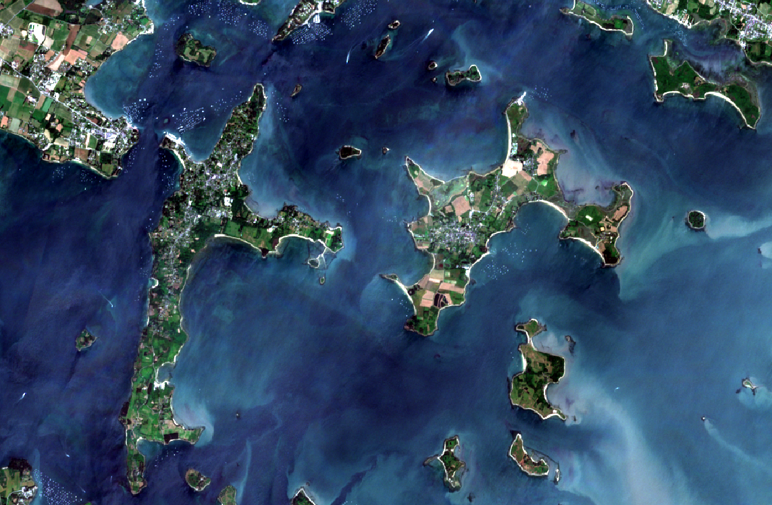
You have at your disposal : - a Python environment, through a Jupyter Notebook you can run on your own computer or on Google Colab. - some extracts of Sentinel 2 images (RGB+NIR) at different dates : you can observe how tides affect the number of islands, rocks you see in the gulf ! - a wonderful toolbox for image processing, that you can use in Python : Orfeo ToolBox !!
The notebook will take you through different steps : - display images - compute radiometric indices (ex : NDVI, NDWI to focus on water areas) - filter a time series of radiometric indices to separate land from water - remove artifacts... and mainland - and finally count islands in the Morbihan gulf !
See also
This repo on github provides also some slides (PDF) and an other notebook to learn how to use OTB classification framework !